|
|
||||||||||||||||||||||
Little River, SC to Bald Head & Wrightsville Beach NC
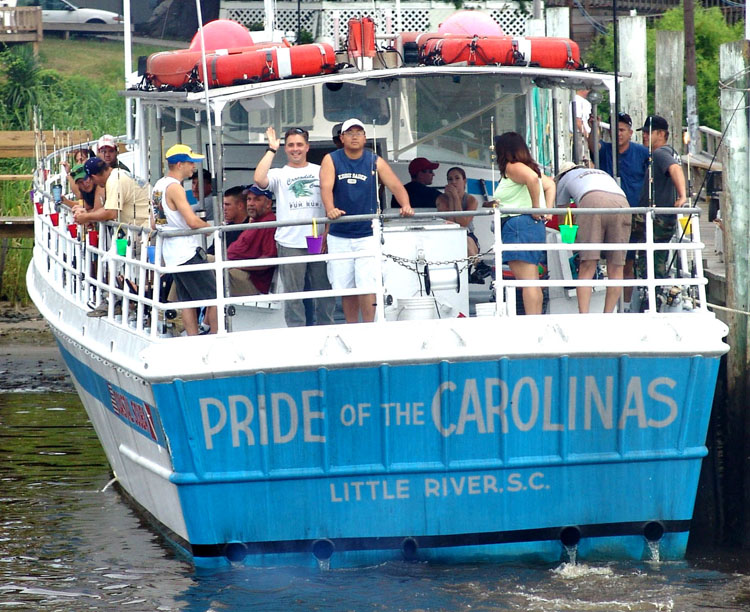
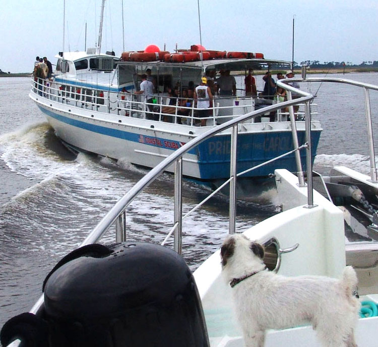
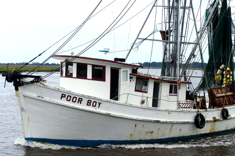
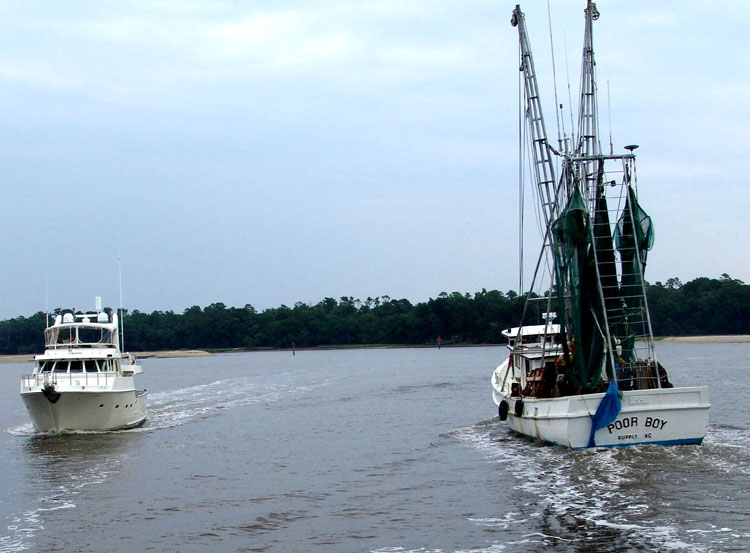
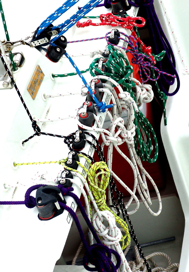
The landscape of this part of the ICW is abundantly green and lush and the natives really enjoy their water, fishing and golfing. As we make our way out the narrow channel to the Atlantic we are suddenly and abruptly overtaken by the overloaded day fishing boat called “Pride of the Carolinas”. It was the one that we passed at the loading dock. He raced out the channel I guess knowing the channel well. It pays to have local knowledge sometimes and if he wasn’t going so fast we would’ve been able to take advantage of his path. We then slowly passed a beautiful white shrimp boat on his way in to port after a long night fishing I suppose. Hope he had some good luck with a name like “Poor Boy” maybe he needed it. Double Click small photos to enlarge
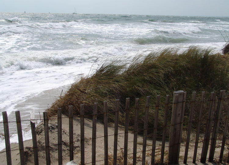
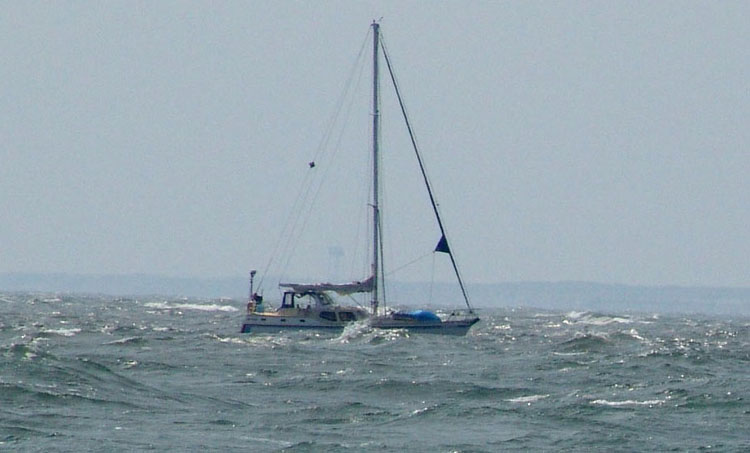
We have an easy run today out in the Atlantic and heading north to Bald Head Island. We admire Ocean Bear across the water as it rides strong and smooth. We talk back and forth on the radio to Ocean Bear as Larry and Steve stay busy trying to hook up on the single side band. As with any newly acquired boat, there are always problems and Steve is working some of the bugs out and one of them is getting the single side band working. They don’t seem to have any luck again today no matter how many different stations they try.
It wasn’t a long trip today. Soon after a few
hours it’s time to start paying attention to getting back into shore as we are
nearing the entrance to Cape Fear River. We have all decided to stop and spend
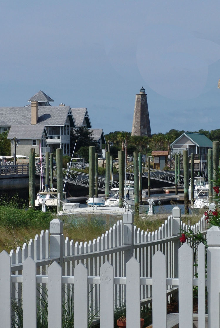
a few days at Bald Head Island which is located at the north side of the inlet
to Cape Fear. We can see the shoreline of Bald Head to our right. It is
sprinkled with cottages. We pass Bald Head Shoal on our right and Jay Bird
Shoals on our left. Entering into Bald Head Marina is a little tricky as you
make a dog leg turn across the currents of the inlet of Cape Fear and then enter
a small narrow manmade channel into the marina. The marina is small but well
protected. As we are nearing the channel markers, we hail the dock master and
tell him we have a reservation for two boats. They give us slip assignments.
As we enter the channel and get inside the inner harbor, we realize that they
have us assigned us slips which would require Ocean Bear to back in. Since it’s
a new boat for Ocean Bear and since there is a lot of serge in the channel,
Larry quickly calls Ocean Bear, explains the situation, and asks if they want to
switch slips so they can bring Ocean Bear head in. They agree. So, Larry turns
Knotty Dog around in the open area and backs into Ocean Bear’s slip. By now
Ocean Bear has entered the narrow channel and now has to contend with the big
ferry boat that decides to come out at the same time without a warning sound.
It was already difficult situation considering the tight quarters, currents,
and serge, and now to avoid the ferry, but Ocean Bear kekpt their cool and did a
great job holding her steady and then getting into the slip with no problems.
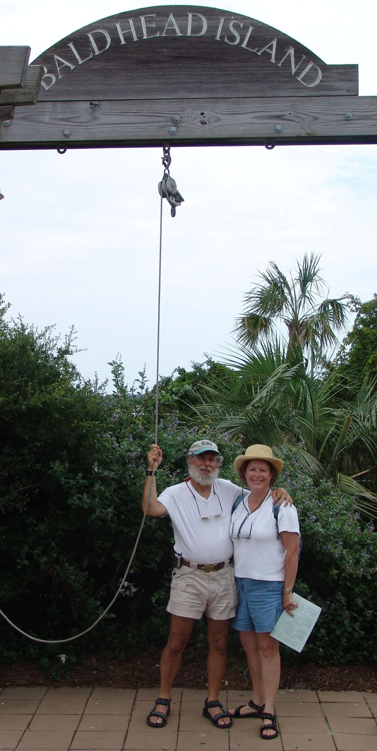
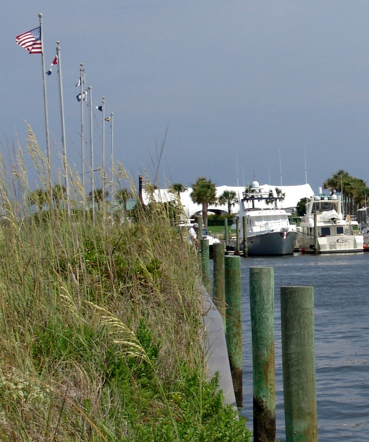
ald Head IslandDouble Click small photos to enlarge
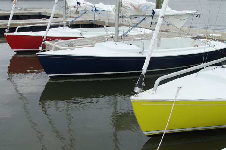
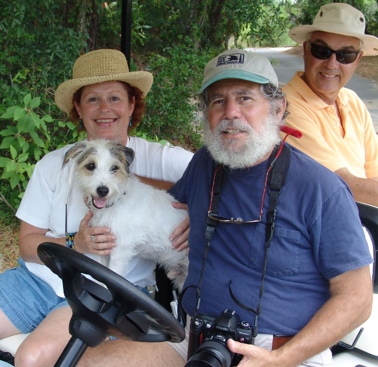
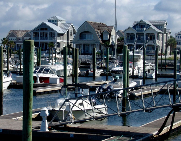
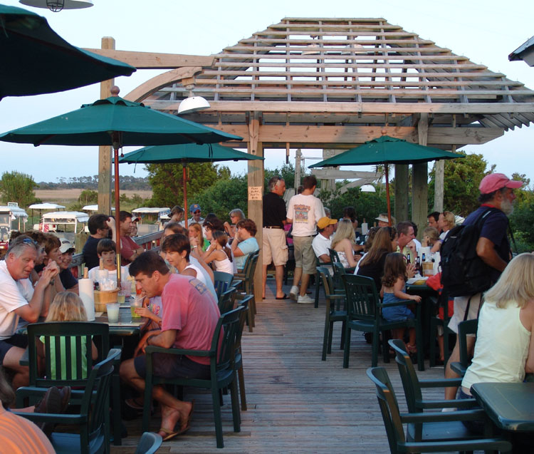
We were welcomed by the friendly staff that helped us with our lines. Larry and Steve went to the marina office to check in. When they came back, we all went for lunch to the nearby outdoor restaurant Eb & Flo’s Marina Steam Bar that overlooks the boats. We had some burgers and beer. What a great day it was. We surveyed the marina from our table. It’s a small marina and we were about the only big power boats there at the moment. The marina was pretty empty the day we arrived. It’s rectangular in shape and at one end are two restaurants, the fuel dock and marina office, and the ferry landing. The ferry is a constant thing of motion in the marina, coming and going all day long. I think it is mostly responsible for the constant serge in the marina which requires frequent adjustment of the lines to keep the boats secure. The other end of the marina is bordered by small attractive beach cottages. Along the long end of the marina, opposite the narrow channel entrance, is the little pizza shop and ice cream gift shop, all within dangerously close walking distance. That ice cream shop was a constant temptation for us.
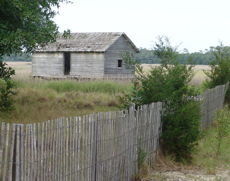
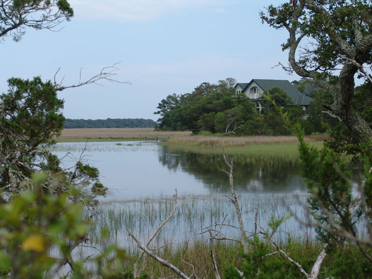
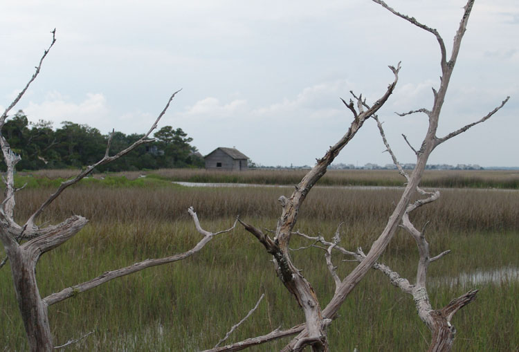
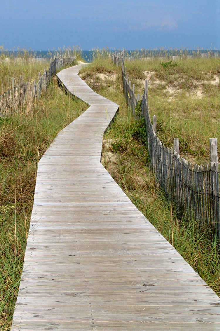
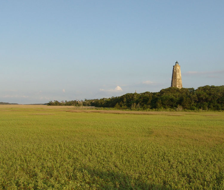
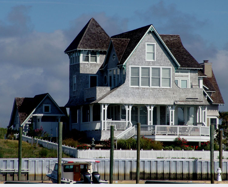
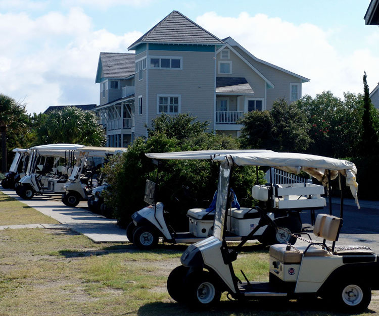
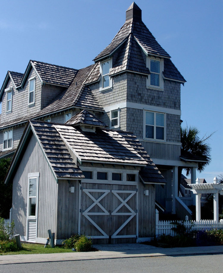
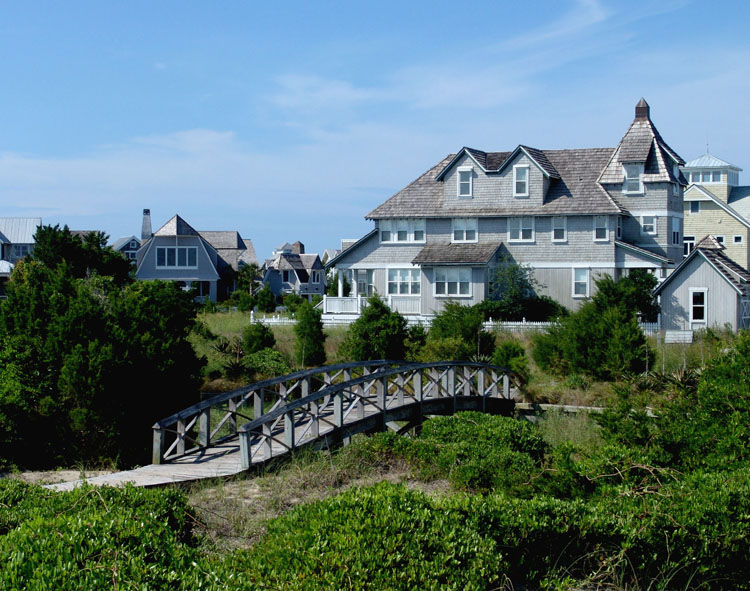
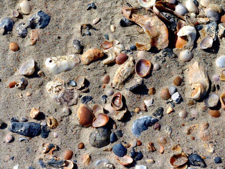
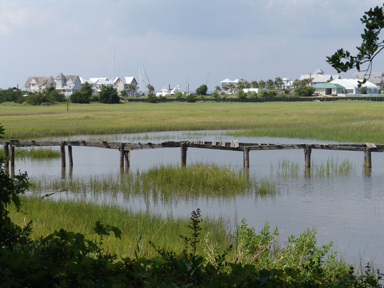
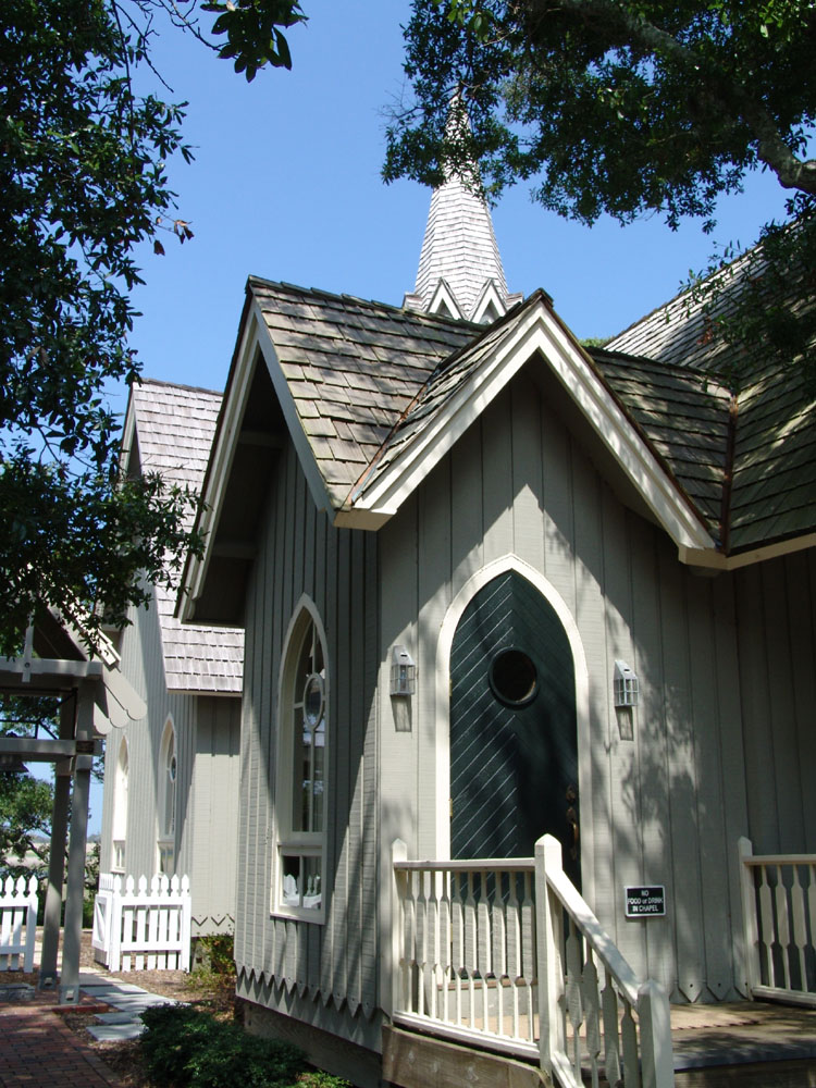
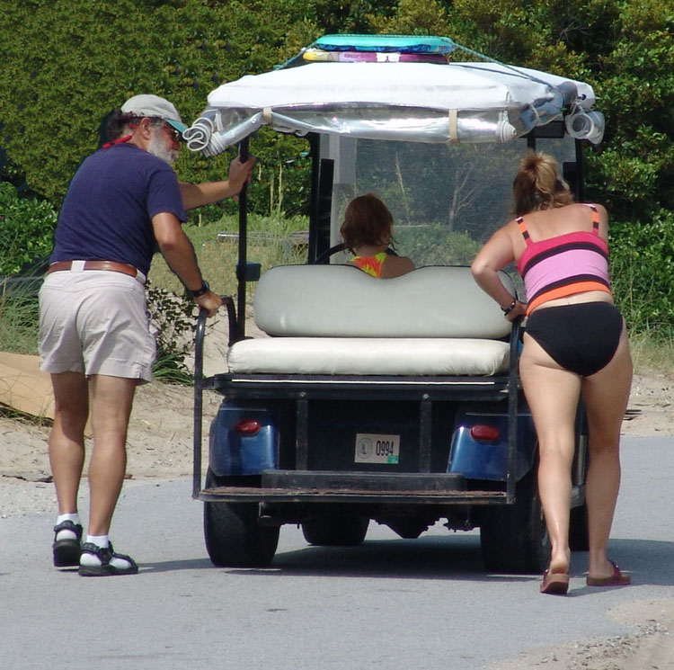
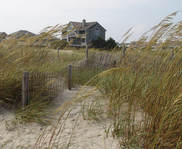
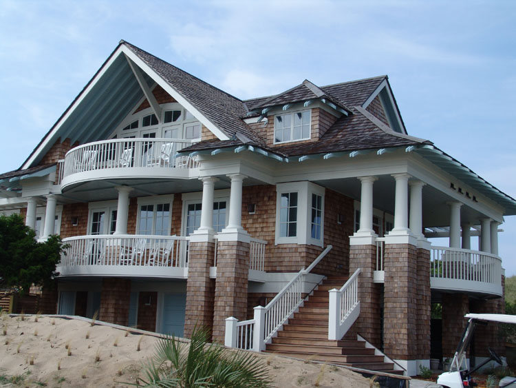
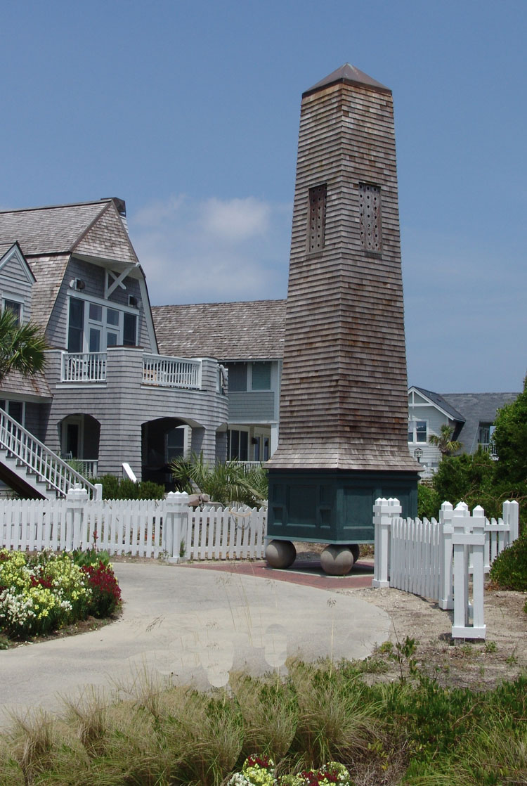
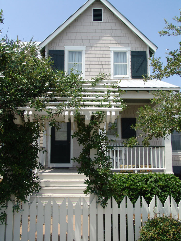
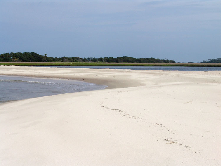
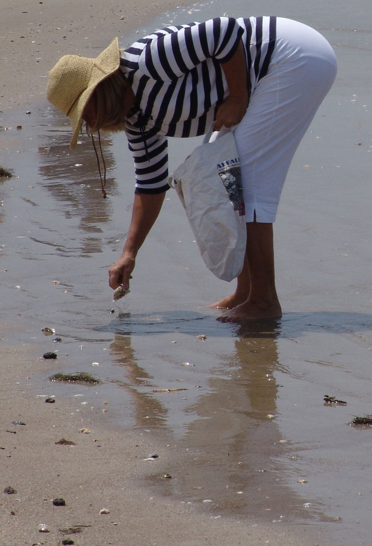
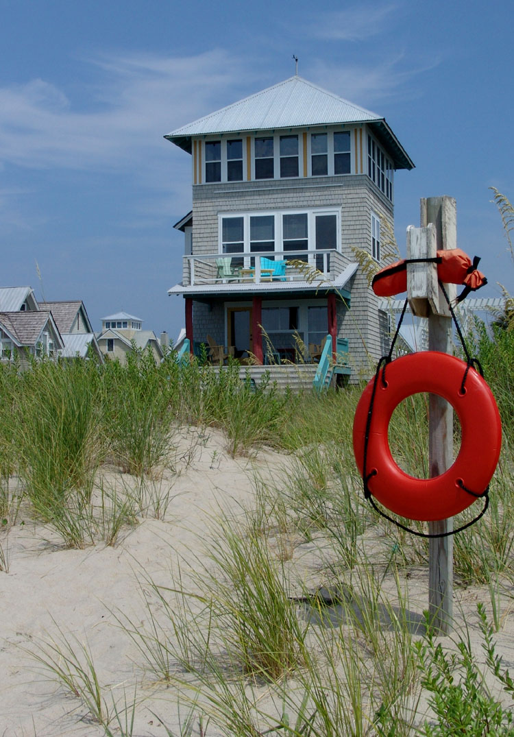
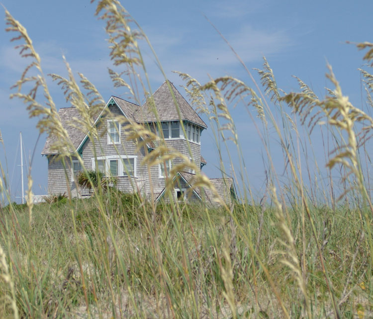
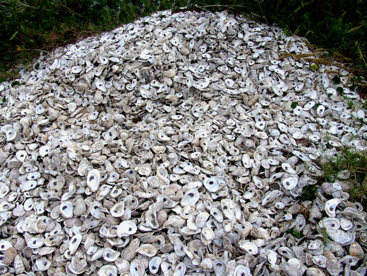
From the marina area, Bald Head Island spreads out over beautiful marshlands. The center area is has acres of natural forest and then the Atlantic is lined with sand dunes and white sandy beaches, all wind swept and scattered with shells. The beaches are accessible by long bleached wooden raised footpaths that lead up to small sand dune hills with sparse tall grass blowing in the wind. It’s picture perfect. Bald Head Island is a planned community but in the best sense of the word. It respects nature and is not commercialized. It is only accessible by boat, either that busy ferry boat or by personal boat. The strict architectural guidelines have maintained a low key but tasteful look that I found the most pleasing. There’s only one grocery store on the island and it’s located in the center area among the forested landscape, almost hidden and difficult to find as there are no advertising signs. There are no cars, just golf carts, so it’s peaceful and quiet. There are no street lights, so it is dark at night and you can see the stars and the reflections from the moon. You are not in the path of airplanes so you feel you are in tune with nature here. Most of the area is a nature preserve and is overflowing with birds and fish. If you're lucky, or unlucky, depending on how you look at it you’ll see an alligator. There are hiking paths in discreet areas with beautiful vistas of the landscape and wildlife. It’s truly a beautiful place. We decided to rent a golf cart and spend a few days exploring this place.
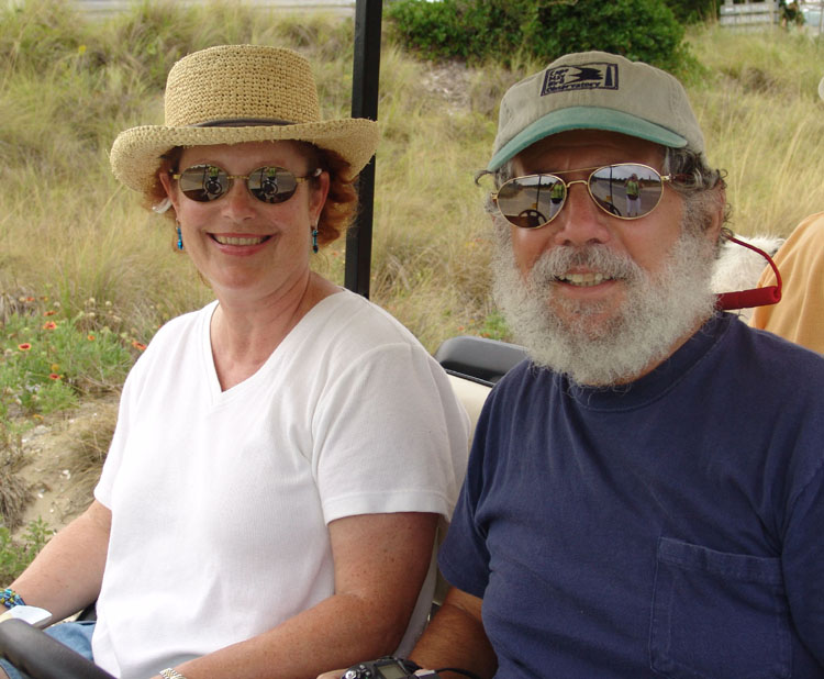
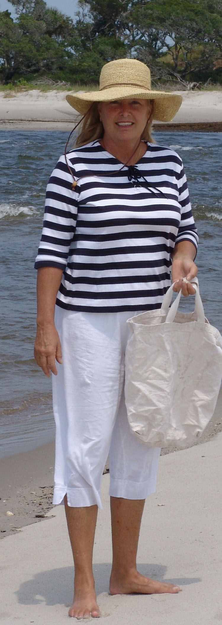
We had a ball with Steve and Joann the next few days on Bald Head Island. We explored the entire island together by golf cart. We took loads of pictures, walked the beaches collecting shells and hiked through their nature trails. We admired the beautiful homes and cottages as each is different and tastefully done but has an overall connection in style. It’s very reminiscent of Nantucket. Joann and I loved the grocery store which was loaded with wonderful wines and gourmet foods, meats and fresh produce. If you lived here you certainly wouldn’t have to settle for anything second rate.
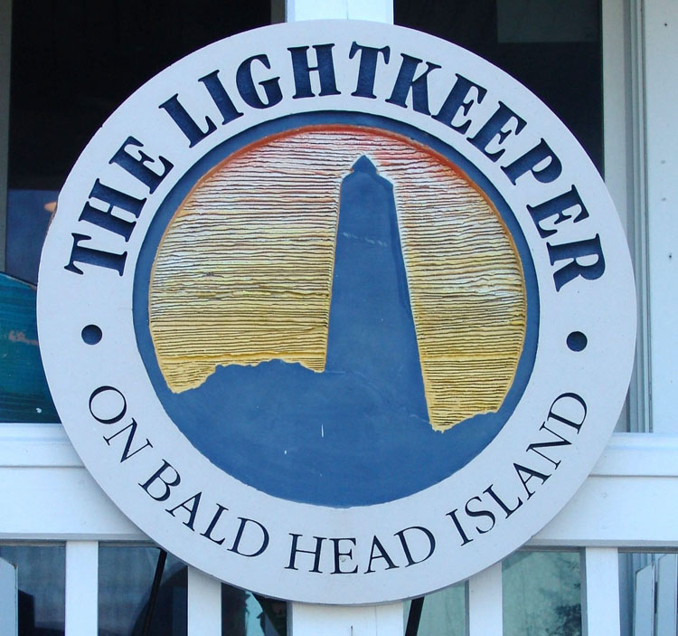
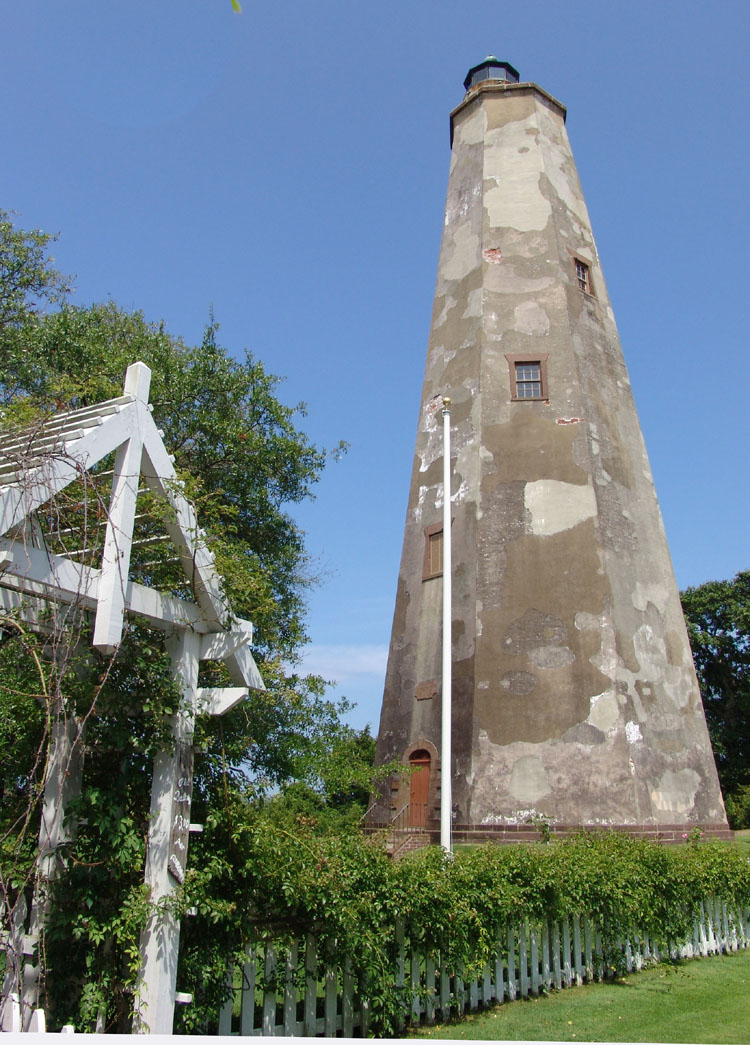
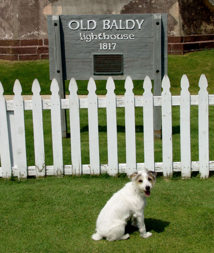
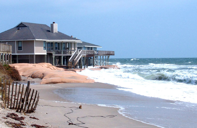
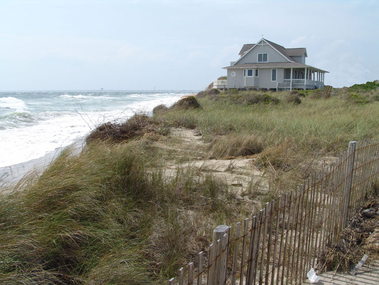
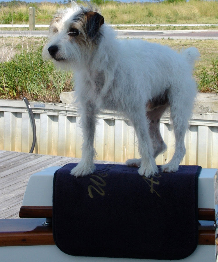
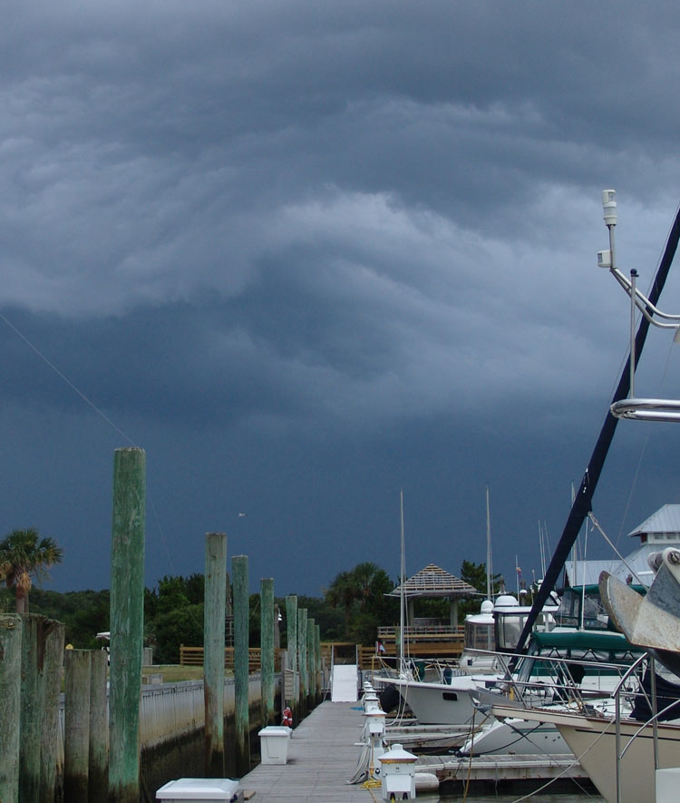
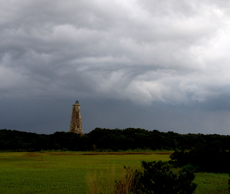
One day Joann and Steve took the ferry to Southport. We decided not to join them because we didn’t want to leave Ziggy all day and my foot was still swollen and sore from my stabbing accident at Little River. So at the end of the day we all met up at Eb & Flo’s again for steamed shrimp and clams and other goodies. Another day, we just drove around the island. We stopped and explored “Baldy”, the Bald Head Light station and drove to the shoreline to see Cape Fear Point and the confused seas. This is area called the Frying Pan Shoals. It is an area that all mariners fear and respect as the shoals extend out from Cape Fear Point and swing north many miles. They have a reputation over the centuries for creating havoc for mariners. Cape Fear is where most boaters traditionally go inside to go north and come out to go south to make a quick run to Florida. We could see the turmoil brewing out there. We drove past many of the houses that were brave enough to plant their foundations on this precarious coast threatened frequently by hurricanes. Many were struggling to stay in place as the ocean was beating against their last bare legs of foundation. Many were trying to protect themselves with huge sand bags wrapped in plastic but I’m sure that some of the hurricanes expected this year might be their final undoing.
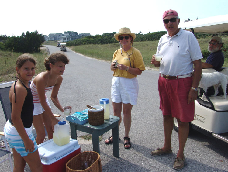
One thing that the island lacks is an abundance of restaurants. It was hot and windy the day we drove down the many small roads exploring the shore and imagining living in different houses. There was nothing to be found to satisfy our thirst. Fortunately two enterprising young girls had set up a cookie and lemonade stand on the side of the road which I think was the busiest and smartest enterprise on the island. Of course, we stopped, got some refreshment which set us back a few quarters.
We were sorry to leave Bald Head but had to
continue on this journey north. Our
next leg of our journey will be to head back out into to Cape Fear Inlet and
turn inland this time heading up the wide Cape Fear River. We will be passing
Southport to our port, and then further up the river rejoining the ICW again
just short of the old shipping port of Wilmington.
Our next stop will be Wrightsville Beach, NC.
BALD HEAD ISLAND TO WRIGHTSVILLE BEACH, NC
We left Bald Head after lunch, which was unusual for us, as we usually left at the crack of dawn. Everyone decided this would be the time to leave as it would put us into the right areas with enough depth considering the tides. It would also get us into to Wrightsville by a decent time in the afternoon to avoid the notorious afternoon thunderstorms. We picked Wrightsville primarily because it was close to a frequently dredged inlet that would allow us to get back out to the Atlantic. This route got us around the Frying Pan Shoals of Cape Fear and then we would be able to go on the outside again to avoid certain areas of the ICW that are reputed to be shallow and not regularly dredged. Our 6 foot draft would most likely pose a serious problem for us if we continued up the ICW for this leg of the journey north. We plan to come back inside at Cape Hatteras, the mother or all mothers for dangerous seas, and stop at Beaufort, NC our next stop before heading again up the ICW. The day we left Bald Head, Joann ordered a pizza from the small hut at the marina. We all had pizza together on Knotty Dog before heading north. We carefully left the marina at Bald Head and headed up Cape Fear River. I never even remotely saw anything on the Cape Fear River that looked like the movie, Cape Fear. I kept wondering if I missed something. The film location must have been more up river (as it’s a really long river). Guess I’ll never know. Cape Fear River is a major shipping channel heading up to Wilmington and there were a lot of channel markers to watch and pay attention to. If you happened to wander out of the channel the waters were dangerously shallow. We were a little on edge trying to make sure were running straight in the channel. The currents are strong in the Cape Fear River and we ran compass courses to stay within the channel between markers. We didn’t want to start sliding sideways out of the deep water without realizing it. We left the wide Cape Fear River for Snow’s Cut. It was the route that got us back on the ICW. It’s very narrow and the markers were a little confusing at the entrance to the cut. The river forked at this point because of a landmass on the left and there was a mixture of markers all in one location. Some were to direct you up the main channel, some were marking a side route around the land mass, another a small channel off to our left and then the markers to Snow’s Cut. We waded through them identifying the ones that marked the entrance leading us straight into the narrow shot of Snow’s Cut. Our nerves were getting a little on edge as the current was pushing us to the side and the tide was low which meant the waters on either side were very “skinny”. Of course, just as we entered the cut, Mother Nature decided to have a down pour to make the visibility questionable. We kept a watch on the markers behind and ahead to keep us in alignment with the channel. As we made the turn, continuing up the channel that was now cutting through the land mass of Pleasure Island the water got very, very, shallow and some of the markers didn’t make sense. In other words it was confusing as one marker was in a place that we just thought was a mistake so we went around the opposite side of it. We did fine so it must have been the right decision. We called Ocean Bear behind to warn about the marker. They had just moved from the fly bridge to their pilot house because of the downpour.
AGROUND AGAIN ON AN ANCIENT SAND DUNE
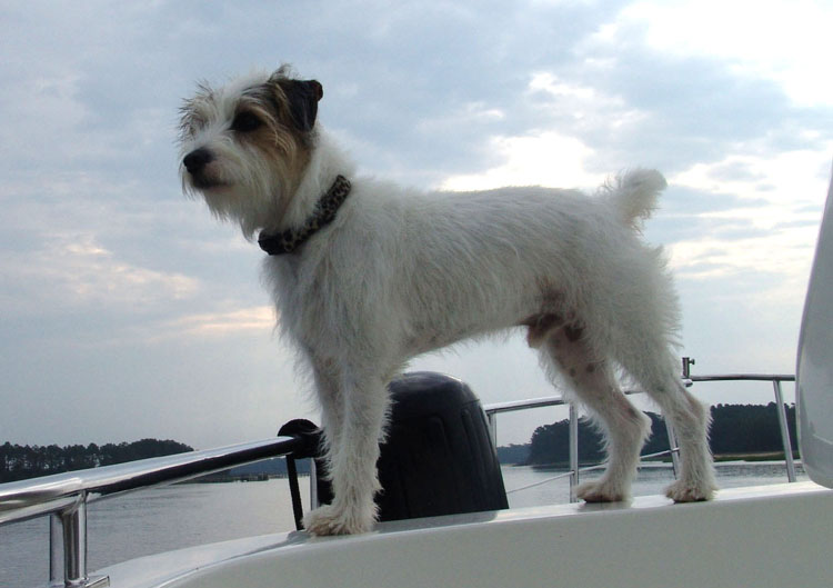
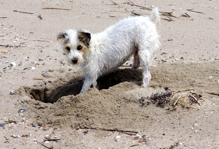
I was running the boat through Snow’s Cut. As we came out of the cut through Pleasure Island and joined the ICW again, I ran aground! I must have made the turn too sharp though we were well into the center part of the channel. The cruising guide identified this area calling it “high ancient sand dune at the end of Snows cut”. The guide said it “is eroding substantially into the otherwise well-dredged channel”. Well that’s what I caught. They never really said where the “ancient sand dune” was (left or right) but I’m assuming that’s what I caught. I still don’t know what they meant by “high ancient sand dune” as there was nothing to see. The boat immediately started to heel over as the strong current was pushing it. I gave the controls to Larry right away and called Ocean Bear to let them know we had gone aground. Larry quickly worked the boat back and forth with the controls, the bow thrusters and a forward and backward motion. We experienced a few difficult moments there before he got her off and backed her out. It was scary because the current and winds quickly took over the boat and as the tide was going down we would’ve had some great difficulty getting out of there if we hadn’t gotten off the shoal quickly. We probably would be spending hours there waiting for the next rise in tide and hopefully we would get off. Again, another scare on the ICW but a lucky outcome. Further ahead we still had some more difficult areas to pass as the cruising guide warned cruisers to watch out for many new temporary markers in this area. They would be marking newly shoaled areas as storms and winds are constantly changing this area. This run to Wrightsville Beach was supposed to be a straight shot but the weaving we had to do to swerve to avoid shoals and shallow waters was far from straight this whole stretch of the ICW. Every inlet or creek was another scenario to pay attention to. We found many of the temporary markers and found many very shallow areas. Many times we only had a foot below us. This is not the kind of boating that we like to do. It was a tiring day with no break from this madness. We muddled our way up Myrtle Grove Sound and then into Masonboro Sound and finally by 4:00 we reached our destination. We pulled up to a side tie at Wrightsville Beach Marina just south of Wrightsville Beach Bridge. We had dinner that night in the Bluewater Grill with Joann and Steve and it was a nice end to a harrowing afternoon. WRIGHTSVILLE BEACH, NCBecause of the weather we decided to spend two nights here. The ocean conditions weren’t that bad but weren’t that good either and we decided to wait the extra day. We would be leaving Wrightsville the following morning and traveling out in the Atlantic again and coming back in at Beaufort, NC. This is an area that you don’t want to take for granted. Larry found an old fashioned breakfast diner near the marina so we all went out for breakfast the next morning. It was a busy popular place and the waitresses were a kick. They didn’t think twice about yelling or wisecracking with the customers. It was all in good fun and we had a great time giving it back to them. The food was pretty good too. Larry decided to get the dinghy down so we could explore the area. We wanted to check out the inlet that we would be taking the next day too. There were two possible exits. We thought we’d explore them both and pick the best and safest one to leave in. We also wanted to get a glimpse of the town and the seashore that Myrtle Beach is so famous for. From what we could see the place was a pretty typical beach town. There were no old houses like many of the past stops. It was pretty much a beach town for vacationers. It was a perfect day for the beach so Larry beached the dinghy near the Coast Guard Station by the inlet. We spent a couple hours just walking the beach along the inlet and collecting shells. Ziggy was having a ball running wild on the sandy beach. We could see others doing the same thing across the way on the sandy shores next to the marshes. SWIMMING WITH DOLPHINS
We rode around the whole area in the dinghy and the town is well developed. We went under the Wrightsville Beach Bridge and saw a little sand bar that was exposed because of low tide. A couple families had anchored their little boats on the bar to let the kids play on this surreal little island. The water surrounding was shallow and the kids had a perfect playground. Someone had put a full size plastic palm tree in the center of the oasis and right next door a real parking meter as if saying, have fun while you’re here but don’t stay too long so someone else can’t enjoy it. We both cooked on our own boats that night and had a quiet evening to ourselves. One thing great about traveling with Joann and Steve is that we can have a great time together and then also know when to have our own private time alone which makes for great traveling companions.
NOW on to Beaufort, NC and points North
|
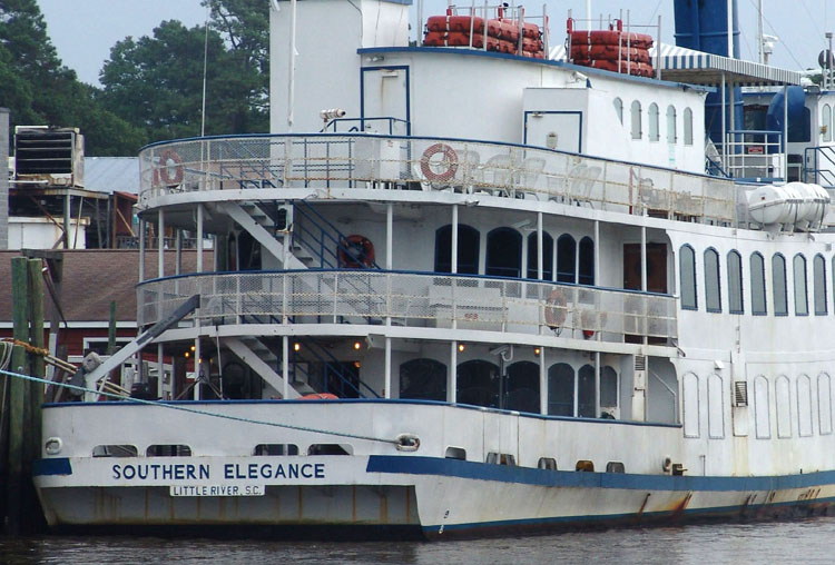
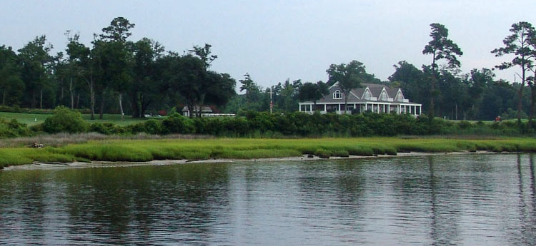
 We leave Little River early in the morning with
Ocean Bear. Knotty Dog is lead dog today as we head up the ICW and out Little
River Inlet to the Atlantic Ocean. As we leave, we pass several crab shack
restaurants, a local cruise boat called “Southern Elegance” which looked
anything from comfortable. Near
the inlet we passed a lush golf course with a white and grey clubhouse
overlooking the ICW.
We leave Little River early in the morning with
Ocean Bear. Knotty Dog is lead dog today as we head up the ICW and out Little
River Inlet to the Atlantic Ocean. As we leave, we pass several crab shack
restaurants, a local cruise boat called “Southern Elegance” which looked
anything from comfortable. Near
the inlet we passed a lush golf course with a white and grey clubhouse
overlooking the ICW.